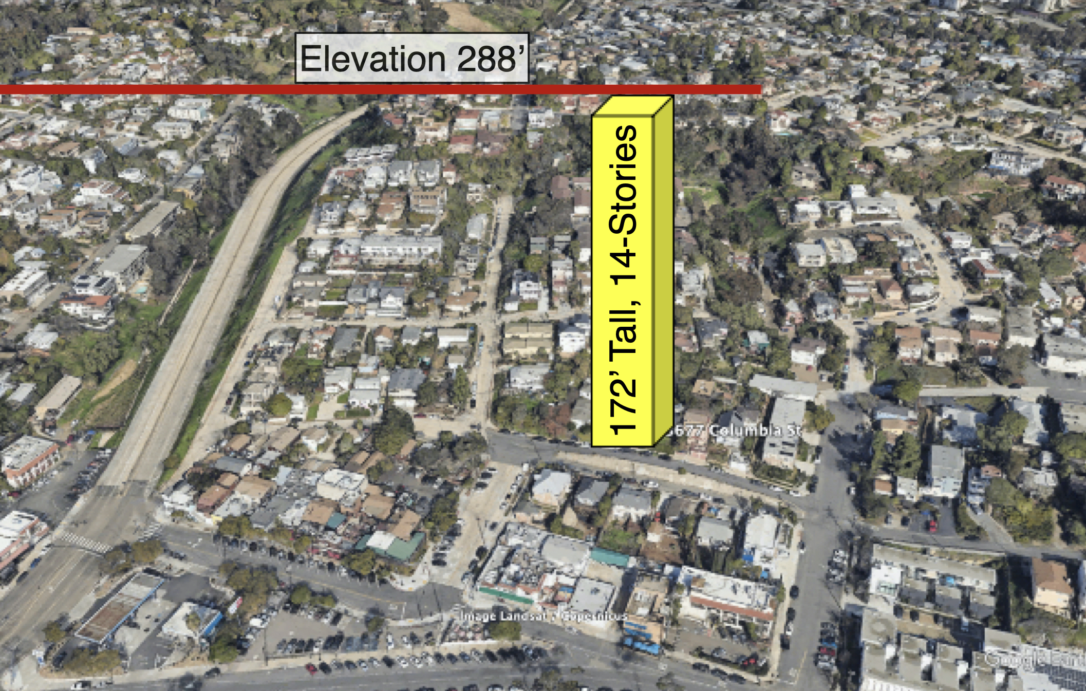
Given the size of this massive high-rise, an earthquake induced structural failure will have a devastating impact on the neighborhood.
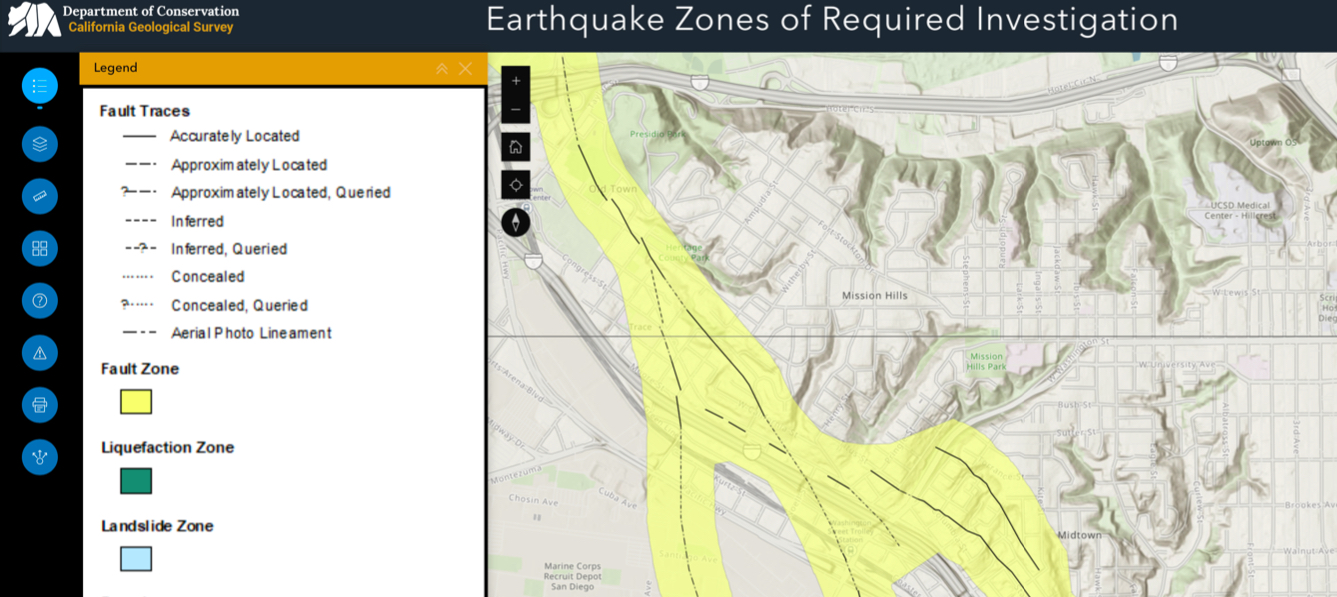
The California Geological Survey’s (CGS) Alquist-Priolo Earthquake Fault Zone map for this area “accurately locates” an active fault running directly through the two lots for the proposed high rise apartment building. Reference https://maps.conservation.ca.gov/cgs/informationwarehouse/eqzapp/
This mapping is based on objectively measured data presented in the recent Fault Evaluation Report, FER 265 (Rose Canyon Fault Zone), that was reviewed, revised and incorporated into the state’s 2021 fault map. The map depicts a broad zone of three faults proximal to the site, with the central one running directly through the subject lots. CGS Special Publication 42 constrains development options on sites crossed by active faults.
We rely on geology professionals to keep us safe, properly evaluating these projects according to industry standards and best practices, and not influenced by city politics nor corporate developer pressure. Politicians and agendas change, but these projects have lifetime safety impacts upon our communities. Given the size of this massive high-rise, earthquake induced structural failure will have a devastating impact on the neighborhood.


