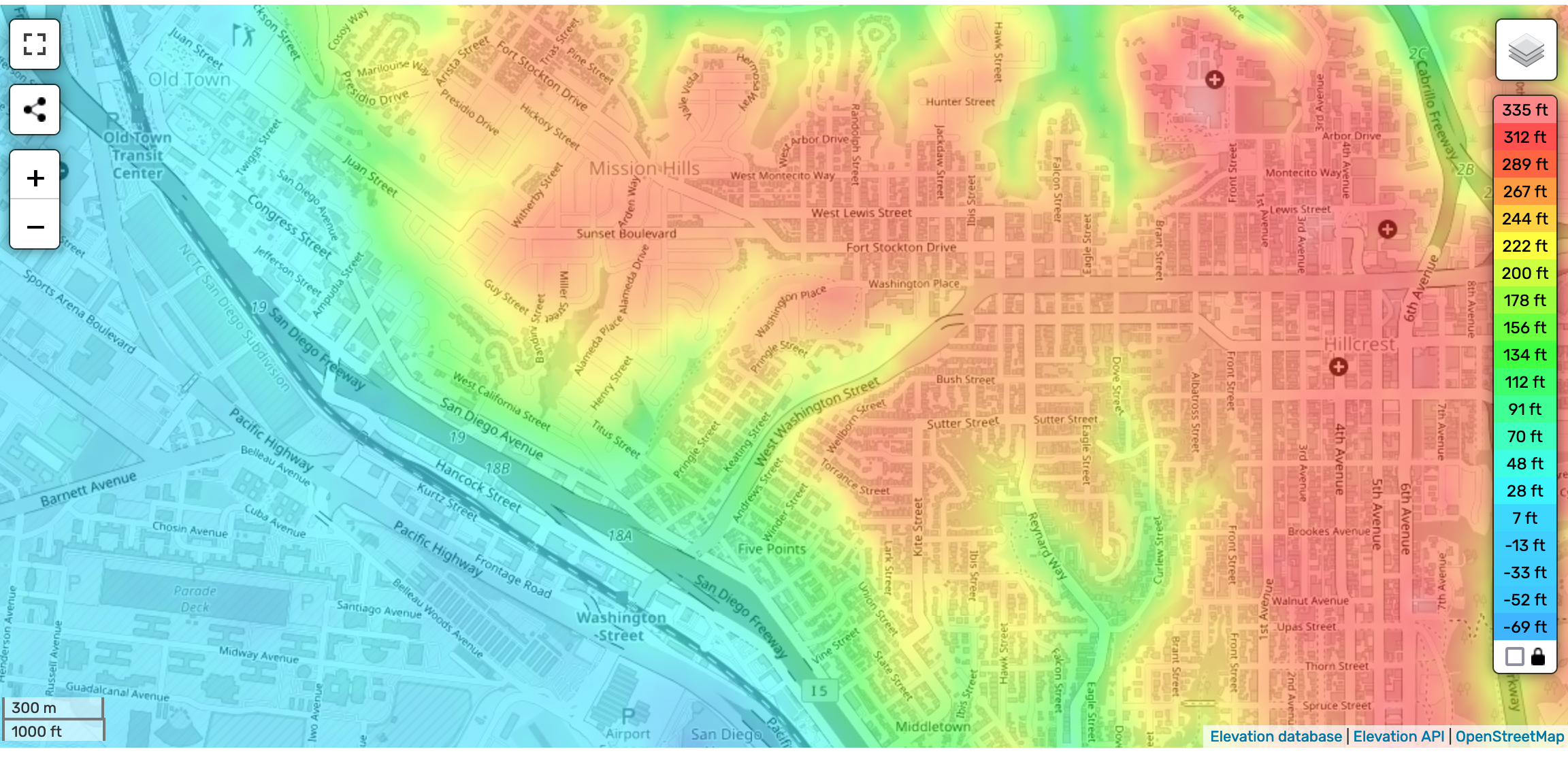
Check out this interactive topographic map at https://en-us.topographic-map.com/map-n9tp/San-Diego/?zoom=15¢er=32.74744%2C-117.17915.
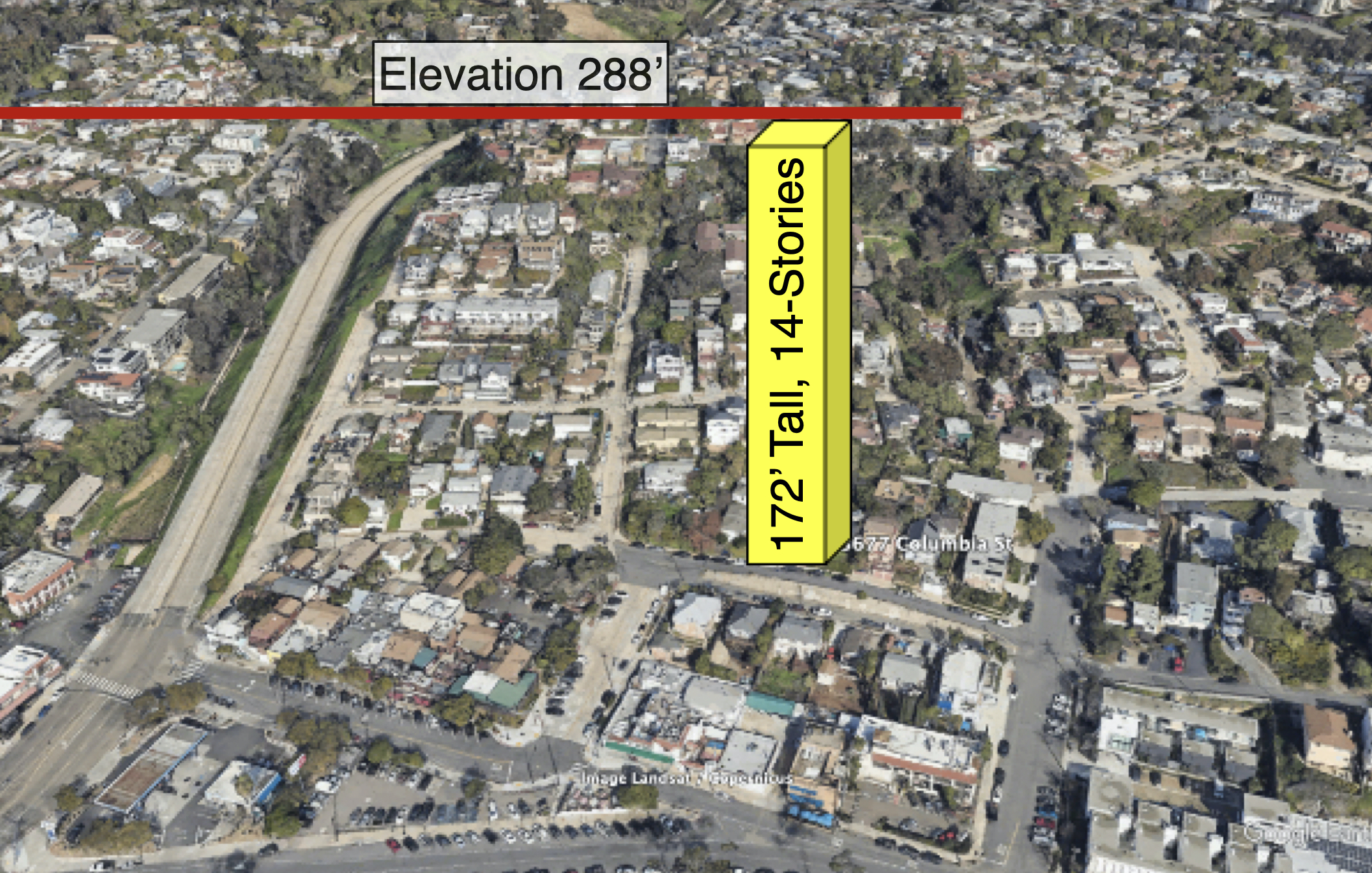
The proposed 172’ high rise starts at the Columbia Street elevation (~114’) reaching to ~286’. The entire Mission Hills / Middletown hillside and mesa, north and south of Washington St is impacted. Zoom on your location to see how it compares to 286’ elevation.
Example #1, the Wellborn / Torrance intersection at the top of the Mission Hills mesa is at 254’, so the high rise will tower 32’ above this intersection.
Example #2, the Pringle / Sutter intersection at the top of the Mission Hills mesa is at 256’, so the high rise will tower 30’ above this intersection.

